By Nadia Abouzir
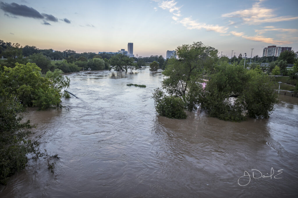
Running along Buffalo Bayou, Eleanor Tinsley Park was completely submerged after
Harvey’s rains. Photo courtesy of J. Daniel Escareño, Flickr.
It is no secret that Hurricane Harvey devastated Houston, but how did it impact the city’s individual communities? Floodplain maps offer insight into where the risk is greatest to experience a 100- or 500-year flood, but many of the affected neighborhoods surpassed these thresholds in 2017. Though some local officials disagree, urban expansion in and around the city’s twenty-two watersheds prior to Harvey is believed to have caused some homes that did not flood initially to become more susceptible in recent years. As Houston’s population grew, the city expanded geographically through annexation and urbanization, building more suburbs and infrastructure where forests, prairies, and wetlands once graced the landscape. These outward developments, which exceeded 167,000 acres between 2001 and 2010, are further promoted by highway expansion. The neighborhood experiences found here shine a light on how overdevelopment in some parts of Houston and underdevelopment of flood control infrastructure affected nearby communities.
CENTRAL AND SOUTHWEST HOUSTON
Central Houston along Buffalo and White Oak Bayous suffered extensive damage during Harvey, with water levels exceeding the city’s high-water mark set in 2001’s Tropical Storm Allison by at least five to seven feet. Buffalo Bayou acts as the main drainage system for both the Buffalo Bayou and White Oak Bayou watersheds with the two merging near downtown. Both bayous have been rectified — the process of widening, straightening, and lining a channel with concrete — to reduce flooding, but that method has been under scrutiny for over fifty years. Although intended to mitigate flooding, the technique has proved disastrous because it pushes water through the bayou with added force and velocity. Thus, when Harvey swept in, overflow from Buffalo Bayou spilled over much of Central Houston.
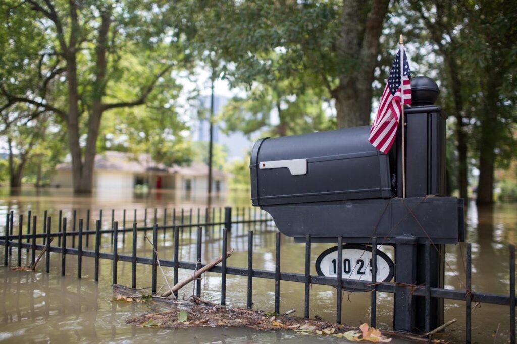
West Houston was severely flooded by Harvey, but a small American flag remained to remind residents that all was not lost and that Houston would remain strong. Photo courtesy of Revolution Messaging, Flickr.*
Experts hypothesize urbanization and the proliferation of skyscrapers also play a role in this increased flooding. With Houston’s decentralized nature, concrete covers large swaths of the region, causing rain that was once absorbed into the ground to pool on top of it. Further, the mass of tall buildings, climate scientists Gabriele Villarini and Gabriel Vecchi argue, stops the air from moving forward, and in- stead pushes the moist, hot air into the cooler air above. This process creates an optimal environment for dense cloud formation, causing more rain- fall in the city. In Southwest Houston, Brays Bayou, another rectified waterway, also reached record flood levels when Harvey’s rainfall exceeded the 500-year flood mark in the Brays Bayou watershed. Candece Beverly lived two blocks away from the bayou and had flooded during the 2015 Memorial Day flood. After Hurricane Harvey hit, many of her neighbors who stayed behind had to walk out of the subdivision through chest-high water. Her neighborhood, situated between Fondren and South Gessner, was under water for three days. When Beverly returned home, she found much of her furniture destroyed along with the home’s infrastructure. Fortunately, neighbors, University of Houston students, All Hands Volunteers, and church members helped Beverly’s family gut and fix their home.

In Lakewood, a neighborhood northeast of Kashmere Gardens, lifetimes of furniture and decorations became rubbish on the side of the road.
Photo courtesy of Revolution Messaging, Flickr.*
Click here to read the full article or click on Buy Magazines to purchase a print copy or subscribe.
Kingwood resident Bob Rehack has been documenting issues related to flooding since Hurricane Harvey hit. Read articles and view photos from experts, residents, and more: https://reduceflooding.com/
The Houston Bayou Preservation Association offers more information on each of the Houston Bayous here, from fun facts to the latest events in the area.

Click here to learn more about water cycles and how the National Oceanic and Atmospheric Administration defines watersheds.

 Follow